From piazza Italia, proceed straight on towards the historic center and cross the two bridges until you reach the SS62 della Cisa. Once on the state road you will find yourself in front of a ramp that will make you cross the railway tracks. Taking this ramp on the right side, you start a gentle climb that will take you to the town of Arzengio.
After passing Arzengio, at km 5, a more demanding dirt climb begins which will lead you to Passo della Crocetta where you will find a small chapel in the middle of the wood. From this point you will cycle for almost 2.5 km on a stretch of the Via Francigena coming from the Cisa Pass.
Once you come out on the paved road near a property, turn right and go up for about 5 km on a paved and then a dirt road, which will take you to the meadows of Logarghena in Monumento at the highest altitude of the route of 988 meters above sea level.
From here to Pontremoli it will be all downhill; after 4 km you return again to Passo della Crocetta, where there are two different possibilities in reaching the town of Arzengio again.
The more experienced can turn left and go down the steep and technical descent of the Via Crucis with the famous stretch of the “Massacri” (stretch of Via Francigena), while the less experienced, continuing along the main road, will reach Arzengio without any problem.
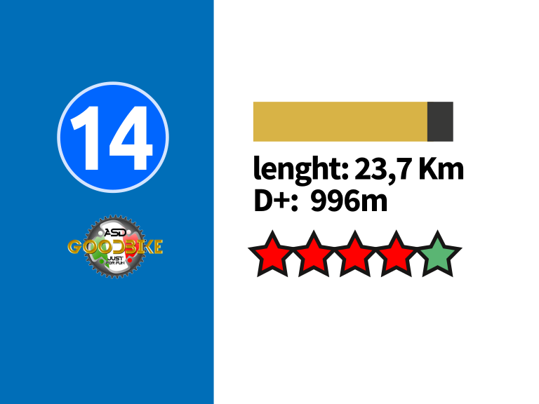
The last stretch towards Pontremoli is a stretch of Via Francigena that you take near the cemetery of Arzengio. Once in Pontremoli to reach Piazza Italia you will have to take the railway underpass on the SS62 della Cisa and reverse the first part of the departure crossing the two bridges over the Magra and Verde rivers before arriving in Piazza Italia after 23.7 km and 996 meters in altitude.